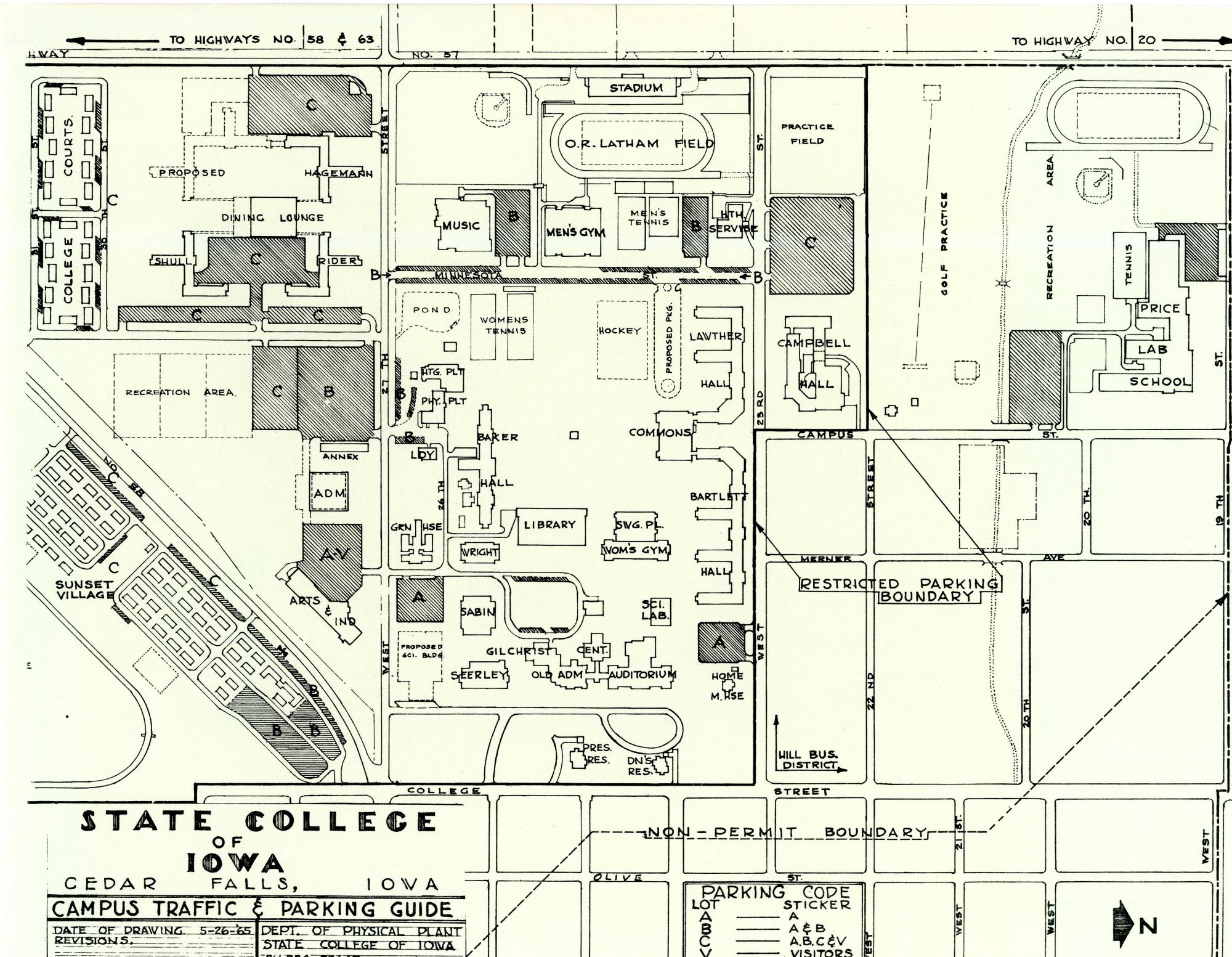
Campus Map 1965
In order to read the labels, this map has been placed so that west is at the top. Three streets have been highlighted in orange on the map to help orient the viewers: University Avenue is the street cutting diagonally across the left corner; College Street runs north and south near the bottom edge; and Hudson Road runs north and south near the top edge. The areas open for parking on campus are highlighted in yellow.
In 1965, enrollment at the school was 6,419.
Web page created by Susan A. Basye Special Collections and University Archives December 1998.